Capture & understand
Bring plans, photos, measurements and project scope into an organized evidence trail.
EXPLORE ↗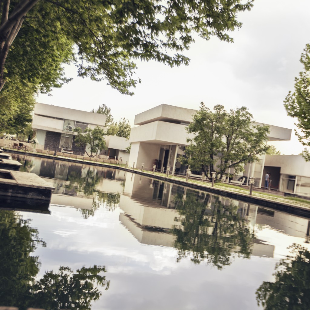
THE PLATFORM
From source evidence to reviewed scope, transparent estimates and useful reports.
EXPLORE ↓Level Up View is being developed around a Landscape / Residential estimating core. Its modular roadmap connects capture, design, verified quantities and reporting before expanding into broader project operations.
Bring plans, photos, measurements and project scope into an organized evidence trail.
EXPLORE ↗Explore alternative layouts, materials and views while keeping the original conditions visible.
EXPLORE ↗Review quantities, units and sources before deterministic cost calculations.
EXPLORE ↗Select a client-facing scope and report while protecting internal commercial information.
EXPLORE ↗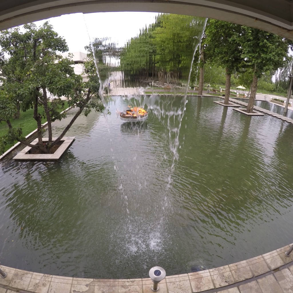
Every image can reveal something about a place. It cannot, by itself, establish every dimension or cost. The platform keeps those questions visible for review.
Task structure, standardized takeoff, verification, versioned rates, independent calculations and configurable output.
PDF extraction, structured questions, organization permissions, source history and controlled client views.
Supported spatial inputs, reviewed models, material selections and design-to-estimate connections.
Job costing, change orders, procurement, Building and Commercial modules, and permission-based project intelligence.
This website presents the product vision and an interactive workflow preview. Live accounts, source processing and production estimates are not yet available.