Plans & documents
Manual scope, Excel references and PDF plans form the early input path. CAD and more advanced sources belong to later modules.
01 · CAPTURE & UNDERSTAND
Read the space before exploring what it could become.
EXPLORE ↓Plans establish a base. Photographs reveal materials and conditions. Measurements provide dimensions. Level Up View is designed to connect these inputs while preserving the original source and its review status.
Manual scope, Excel references and PDF plans form the early input path. CAD and more advanced sources belong to later modules.
Use site images to identify visible features and ask better questions. Reference dimensions are needed where photos cannot establish scale.
Future supported scans may describe dimensions, areas, volumes and slopes. Derived quantities still need the appropriate verification.
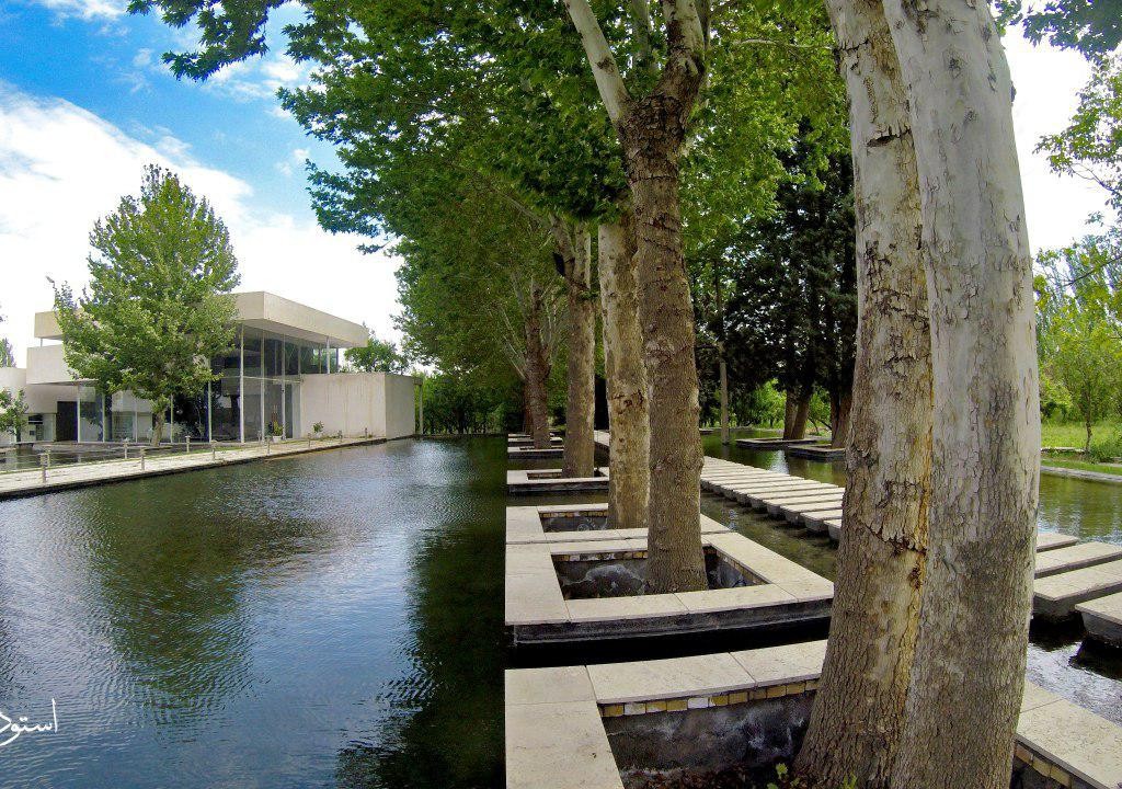
The distance between a path and a tree matters. So do levels, water edges, access and materials. Capture should describe these relationships, not simply collect files.
Candidate quantities can be preliminary, estimated, verified, approved or rejected. The planned record preserves assumptions, changes and who reviewed the value.
A photo can help identify scope and context. Reliable dimensions need scale, measurements or another suitable source; uncertain quantities remain identified for review.
LiDAR and advanced 3D capture are part of the development roadmap. This public website does not perform scans or process spatial files.