See what is already there.
Existing conditions, trees, edges, access and visible constraints form the starting point for a considered design direction.
 Level Up View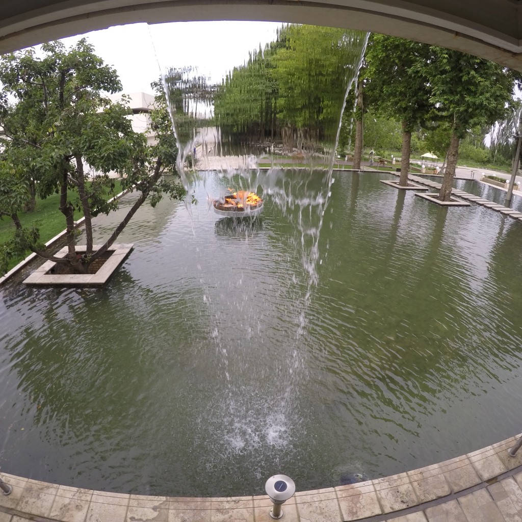
TECHNOLOGY / SITE INTELLIGENCE
Digital site documentation can give design conversations a clearer shared reference for existing conditions and spatial decisions.
THE WORKFLOW ↓Photos, plans, dimensions and supported digital capture can help teams visualize existing conditions, explore spatial models and review questions before design decisions move forward.
Tools support understanding. They do not replace appropriate field verification, specialist expertise or required surveys.

Spatial models can make scale, sequence and relationships easier to discuss. They are reviewed against available source information and remain subject to suitable verification for the intended decision.
Existing conditions, trees, edges, access and visible constraints form the starting point for a considered design direction.
Visualization can clarify how routes, levels, water, planting and built elements relate before the project advances.
Measurements, sources and assumptions should remain reviewable. No LiDAR workflow is presented here as survey-grade accuracy.
Level Up View is exploring how capture references, point-cloud workflows and design information could support a future intelligent platform. Automated extraction, quantity takeoff and workspace features are not currently offered as an operational platform service.
IN DEVELOPMENT · CONCEPTUAL ROADMAP ONLY · NOT A SURVEY, ENGINEERING OR AUTOMATED ESTIMATING SERVICE
VIEW THE PLATFORM ROADMAP ↗